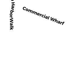
66-68 COMMERCIAL WHARF EAST 66-68
BOSTON, MA02110
Owner Information
DEBENEDICTIS DANIELLE E
68 COMMERCIAL WHARF
BOSTON, MA 02110


Property Details
66-68 COMMERCIAL WHARF EAST 66-68 is classified as a IMPUTED - Commercial.
66-68 COMMERCIAL WHARF EAST 66-68 is valued at $762,000. The land is valued at $0 and the structures are valued at $762,000.
The most recent deed for 66-68 COMMERCIAL WHARF EAST 66-68 is recorded at the local registrar in Book 40731, Page 236. 66-68 COMMERCIAL WHARF EAST 66-68 was last sold on Friday, November 10, 2006 for $0.
Assessment data from fiscal year 2020.
Flood Data
This property has multiple flood prone designations.
| Zone | Description | BFE | Area |
|---|---|---|---|
| AE | within floodplain | 10 | 1.72 (88.0%) |
| VE | coastal flooding with wave action | 13 | 0.23 (12.0%) |
This information is sourced from the FEMA National Flood Hazard Layer. See our full disclamer.
Broadband Internet Providers
| Provider | Type | Bandwidth (mbps) | |
|---|---|---|---|
| HughesNet | Satellite | 25 | 3 |
| VSAT Systems, LLC. | Satellite | 2 | 1 |
| Verizon New England Inc. | DSL | 15 | 1 |
| Verizon New England Inc. | Fiber | 940 | 880 |
| Crown Castle Fiber | Fiber | 0 | 0 |
| Starry, Inc. | Fixed Wireless | 200 | 200 |
| Comcast | Cable | 1000 | 35 |
| Viasat Inc | Satellite | 100 | 3 |
| netBlazr Inc | Fixed Wireless | 50 | 50 |
| GCI Communication Corp. | Satellite | 0 | 0 |
Broadband service provider data from December 2020.
Adjacent Properties
- 8278 ATLANTIC AV
IMPUTED - Commercial owned by KANTER RICHARD L TRSTS - 10498 ATLANTIC AV
Eating and Drinking Establishments - restaurants, diners, fast food establishments, bars, nightclubs owned by ATLANTIC WATERFRONT LLC - 90-91 COMMERCIAL WHARF EAST
IMPUTED - Commercial owned by COMMERCIAL WHAF EAST LLC - 88-89 COMMERCIAL WHARF EAST
Mixed Use (Primarily Commercial, some Residential) owned by COMMERCIAL WHAF EAST LLC - 86-87 COMMERCIAL WHARF EAST
IMPUTED - Commercial owned by BOSTON BOAT BASIN LLC MASS LLC - ATLANTIC AV
Developable Commercial Land owned by LHU LEO BUK L TS